Datastore
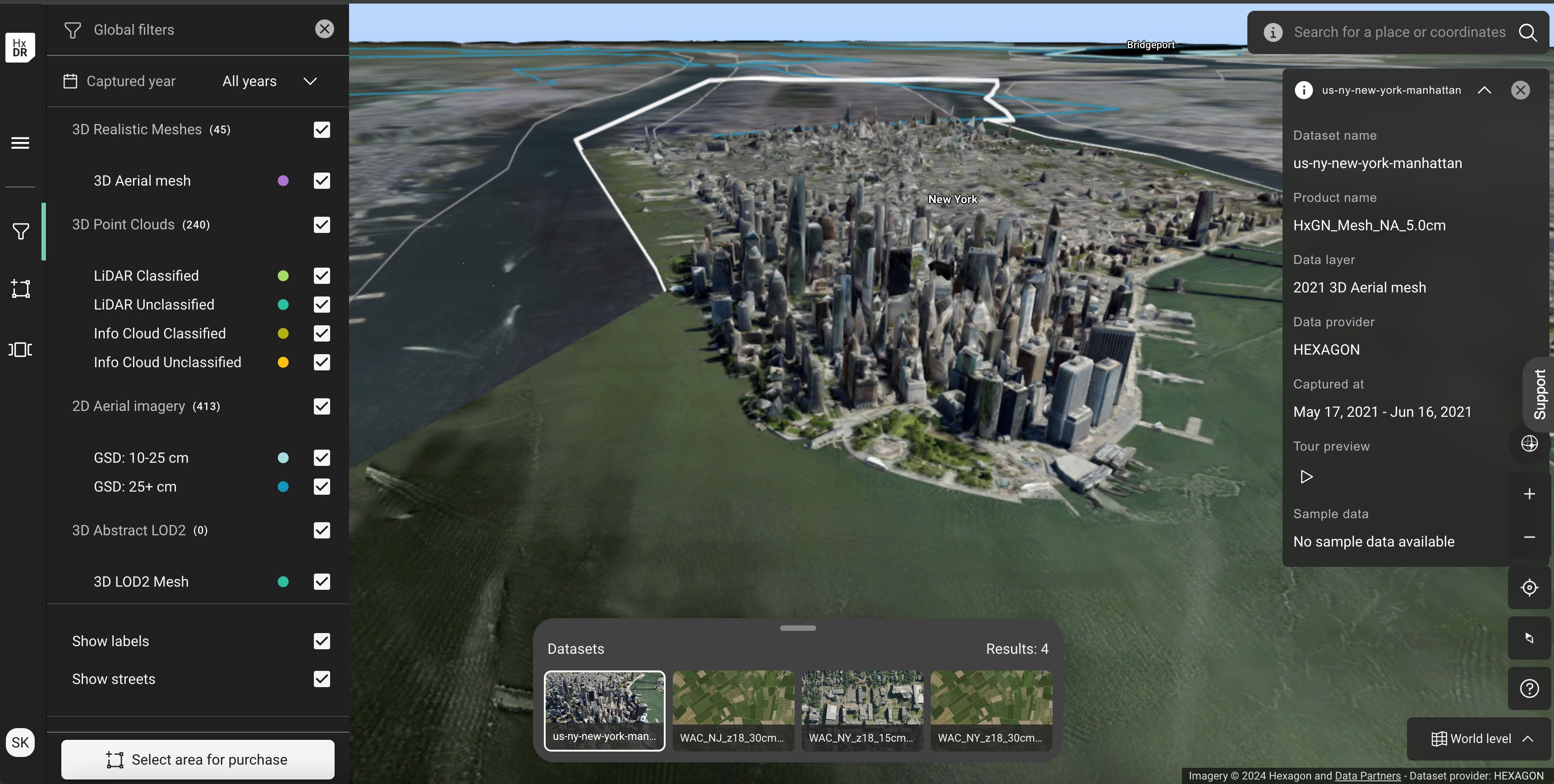
The HxDR Datastore is a dynamic catalog of 3D Aerial meshes, super meshes, and point clouds of cities, towns, buildings, and other world geographies, as well as 2D aerial imagery —all available to purchase and use in your own projects.
- High quality data products ( Aerial imagery, Elevation data, 3D Models, Analytics)
- Unparalleled data quality and coverage
- Top-tier technology and expertise
- Catalog and query powered by HXDR
- Streaming and download

You can purchase data sets from the HxGN Content Program on demand through the HxDR Data Store.
- Search for required data
- Use filters
- Select area to purchase with selection tool
- Preview
- Get quotation
- Purchase
Hexagon designs and integrates airborne sensors, schedules and flies missions, as well as processes the data using optimised software to the highest levels of photogrammetric and radiometric quality. We control the entire workflow to ensure excellence at every stage. Derive valuable insights with high-quality aerial data.